Topic: Adjust OnlineMaps Terrain to RWT Terrain
Hello Alex
I bought Online Maps a year ago, but I started working on this asset only two days ago.
As you know, I am working on a project with WRT, including objects placed on a 3DMap.
To enlighten the project and build an OpenGL version, I would like to replace the static WRT terrain with a dynamic OnlineMaps one, the tiles being downloaded at the launch and stored in memory.
I tried many things, the most working project uses your FollowGameObject script, as I want to have a ‘non moving’ terrain to let the objects in place.
Here is a very first OpenGL version : http://zmz.fr/ph/w16/
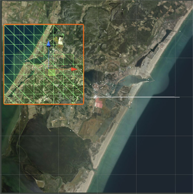
As you can see in this playmode capture (in the sceneview) the OLMaps (small, with the mesh - sea on the left) is inverted around its Y axis (the larger terrain is the RWT one, sea on the right), so I tried to rotate the camera attached to the OLMap / rotate the OLMap, but I have a lot of adjustment issues, scale and position of the OLMap.
So my questions are :
Maybe you have an easier solution to adjust both terrains ?
Or a way to replace the lowres tiles with the OLMaps downloaded tiles ?
Is there a way to have different resolutions in an Online map, I mean the terrain near the camera should be more detailed than further terrains ?
Which is the better way to make an horizon ?
Best regards !
