Topic: About elevations resolution
Hello
On this screen capture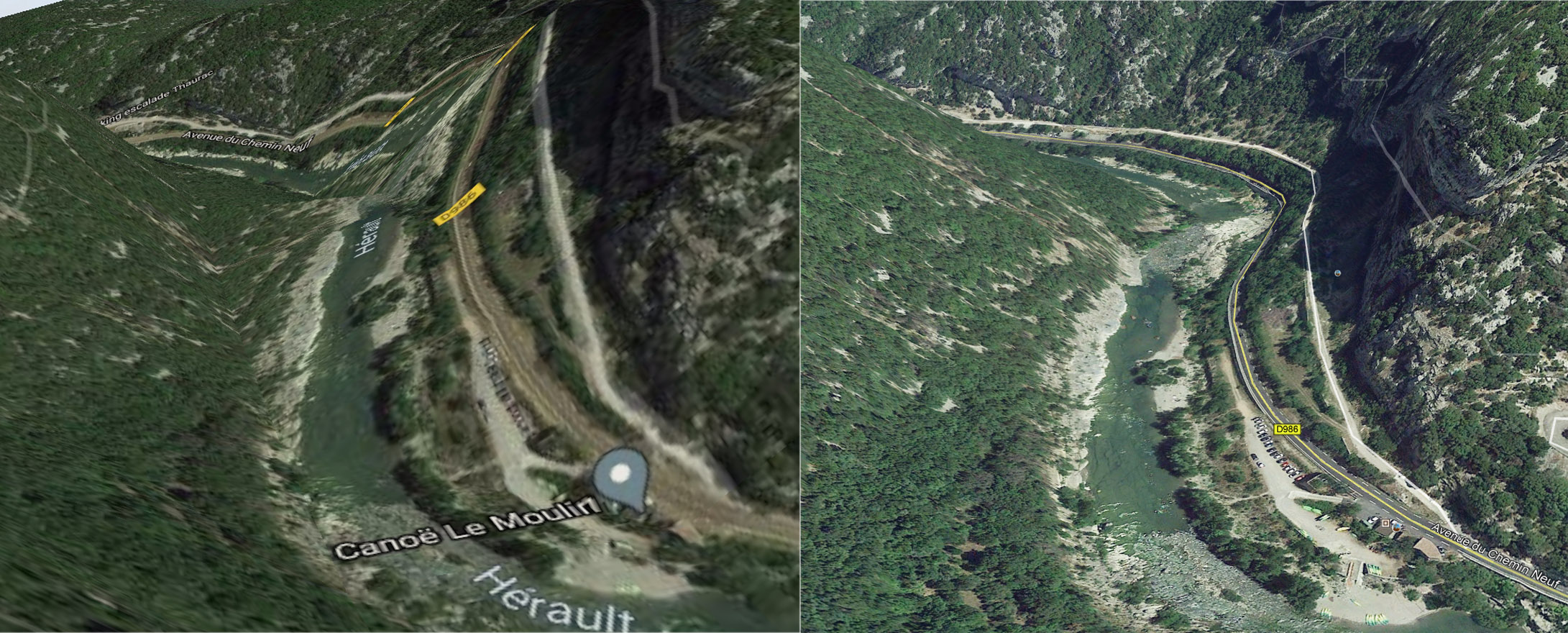
- On the left, the aspect that I get with OLMaps
- On the right, about the same location on Google Earth, which is much more accurate, the road doesn't climb on the cliff...
Same texture on both images, provided by Google Maps.
My Arcgis parameters are
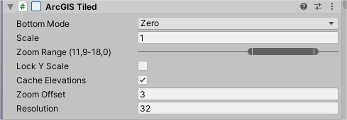
Changing the resolution (Min = 16 - Max = 100) doesn't change anything.
In the documentation the elevation seems to be managed by bing, but there is no such script ?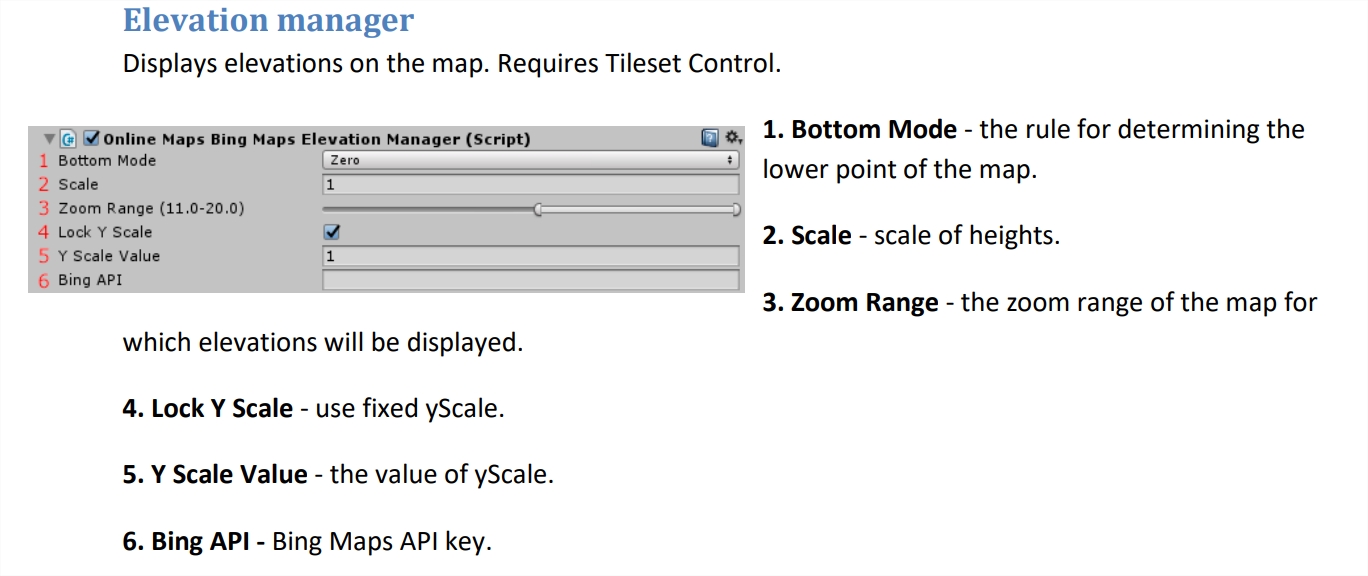
Which is the better way to get the GoogleEarth (or even better) elevation accuracy ?
Geoportail has a good elevation accuracy too, but the 3D mode is very very slow... And I don't know how I can get the elevation data, maybe there is something to do ?
Best regards.
