Re: Some Problems
Point of view is important here.
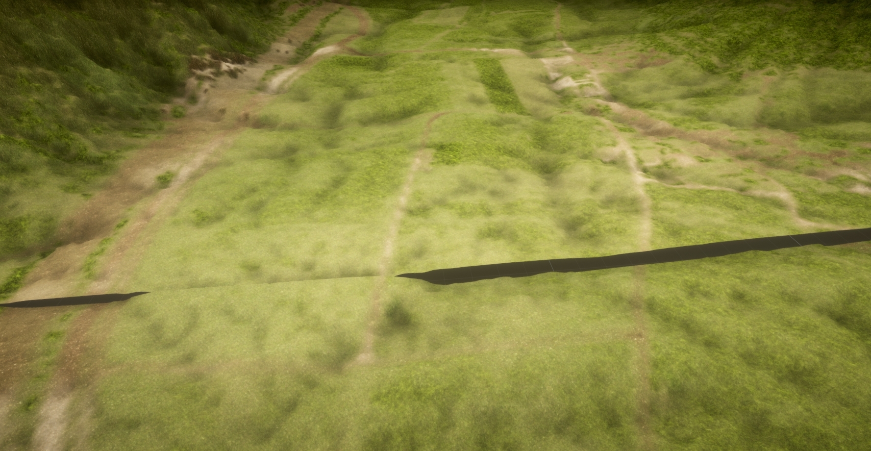
When you look at a building or mountain from a distance, it seems like a toy.
Get closer, and lift your head up, and it will seem big and majestic.
RWT uses real-world data, and your mountain is exactly the same height as the real world.
Of course, if you have not played with scale.
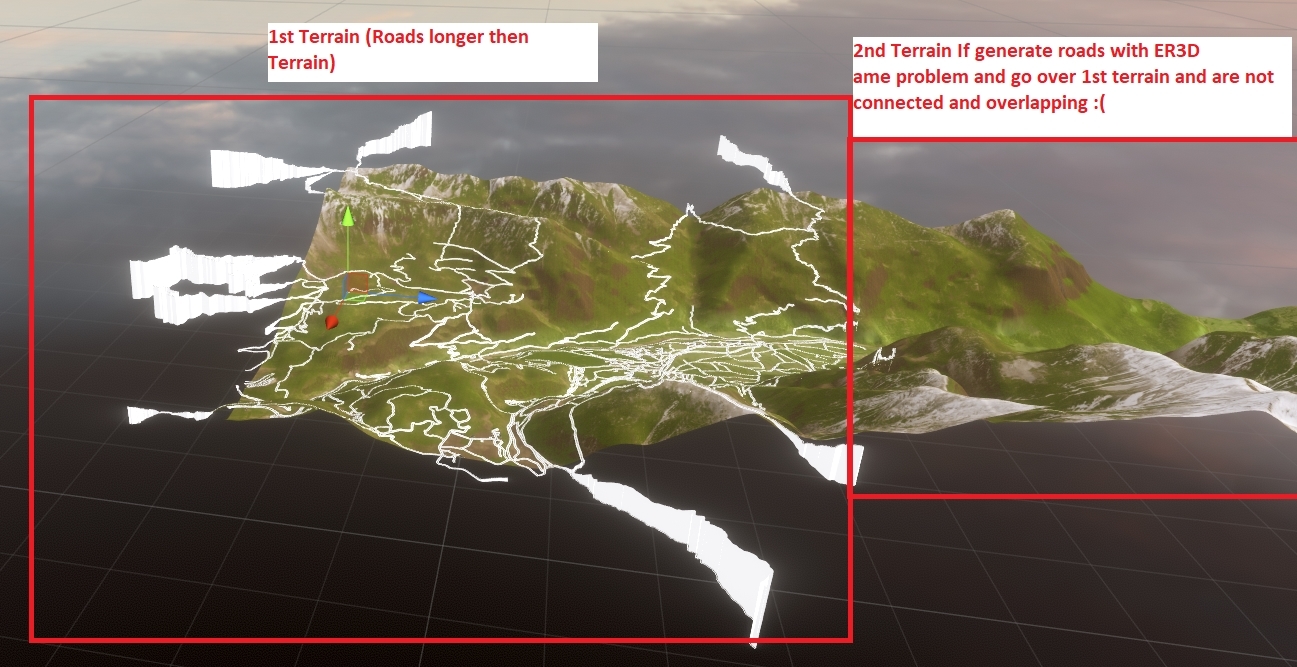
And are there good ways because i have 150 terrains atm and 6400x6300 and 3300 height one terrain but has problems with easyroads3d terrain deformation and when want make more for example 500 smaller terrains unity has problems sad and texturing wit worlcreator takrmes 150x4 click plus wait time took me 3 days to texture all and when need change all also bad
Unfortunately, I did not understand what you wrote.
Please rephrase that.
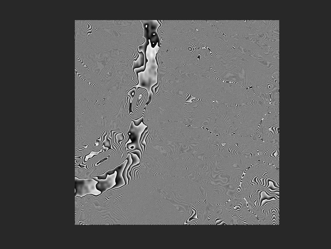
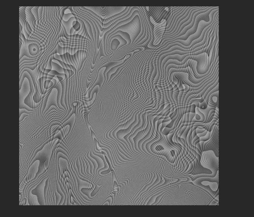
RWT does not have the features to make erosion.
I think this will be a useful, and I will try to implement it as a postproccessing tool in the next version.
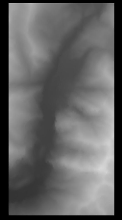
You can create square terrains.
http://forum.infinity-code.com/viewtopi … 4139#p4139
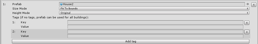
Please send me your building prefab as a package.
I will check why this is happening.
Thank you for the video.
Unfortunately, RWT cannot orient buildings to the side of the road.
And good luck to the creator of CityGen3D in the development and publication of its asset.
Infinity Code Team.
Boost your productivity a lot and immediately using Ultimate Editor Enhancer. Trial and non-commerce versions available.